
Communication Builds Our Community
Communication Builds Our Community
Bermuda High Finally in Place Over Atlantic

Seabreeze collisions coming from the Gulf and Atlantic are likely to drive the development of storms and heavy rain over most of the interior of Florida in coming days.
After a serious months-long drought that saw falling lake levels and withered lawns and shrubs, southeast Polk and the entire region are finally expecting to see the start of the normal summer monsoon rains. Forecasts are calling for as much as 2" to 3" of rain in some locations on a daily basis this week, with areas that see repeated rounds expected to incur localized flooding.
A saturated atmosphere and light steering winds will lead to the development of thunderstorms expected to leave impressive rainfall totals across the area this week, according to forecasters at the National Weather Service offices in Ruskin and Melbourne. Seabreezes from both east and west coasts are expected to collide of the interior, a setup that favors rainfall along the Lake Wales Ridge.
The Bermuda High, a clockwise spinning dome of air centered over the Atlantic, is the normal driver of Florida's summertime weather, along with the paths of the tropical storms that form each year. That system is now in place after a long delay caused by unusually-strong jet stream winds.
Temperatures are expected to remain in the 90s each day, creating updrafts that draw the winds from both coasts. With dew points hovering in the mid 70s, storms won't need much heating to get started. That moisture will quickly condense to rainfall as updrafts raise it to cooler levels of the atmosphere, the process that drives the storms.
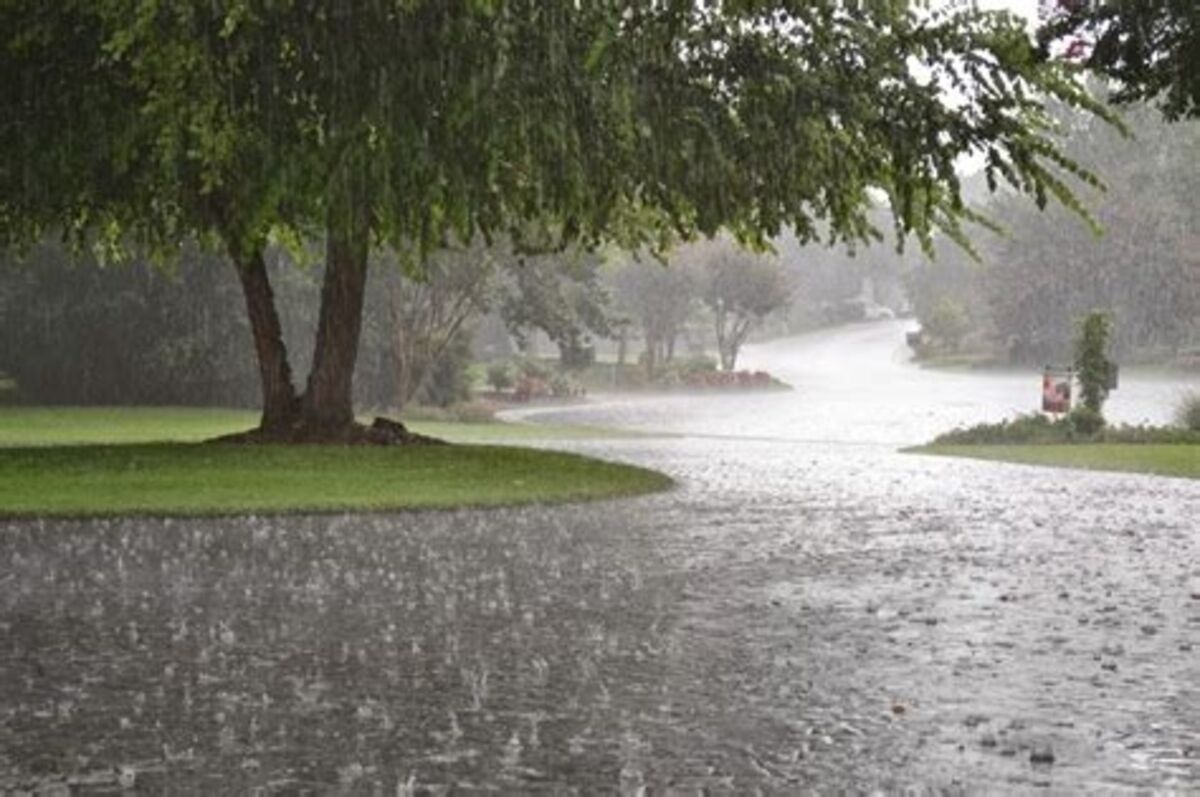
An atmosphere saturated with moisture and weak steering currents are expected to fuel localized rainfall totals of 2" to 3" across much of central Florida this week.
With the summertime setup in place, Floridians can also expect to see the Hurricane season begin to become more active. Early-season storms typically form in the Gulf of Mexico and Caribbean. The first Tropical Storm of the season, Alberto, struck Mexico this week, and a second storm is likely to form and follow roughly the same path. Meanwhile a weak depression is wandering aver coastal Georgia.


Reader Comments(0)