
Communication Builds Our Community
Communication Builds Our Community
Shift Marks the Start of the Hurricane Season
With much of central Florida in a serious drought situation and wildfires becoming a growing threat, forecasters are at last predicting a potential start to the normal summer rainy season.
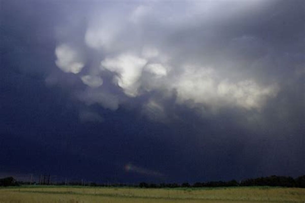
Storm clouds will be a welcome sight for many over Florida in coming days. Solid summer rains may help make up for a deficit that has accumulated over the last two years, enhanced by a serious shortfall in 2024.
Conditions across the Atlantic and Gulf of Mexico will begin to normalize over the coming week as the "Bermuda High," a sprawling moisture pump that feeds moist tropical air northward to Florida, beginning to set up in the Atlantic.
At the same time, a persistent high-pressure area that has parked over the Gulf of Mexico, shunting dry continental air south over the state, is eroding. It may soon be replaced by an area of low pressure that will enhance rains over Florida.
Before those changes are complete, Florida will see at least two more atypical cool fronts pushing into the state, each giving us a chance for a round of rain showers and possible thunderstorms, beginning today, June 6. That timing falls more than a week behind the average setup.
Wildfires such as the one that broke out in Indian Lake Estates on Wednesday afternoon are a major threat, and the area is likely to remain under a bun-barn due to the accumulation of dry vegetation even after the rains arrive.
With conditions so dry, soils in the area have also become 'hydrophobic,' meaning the first rain to fall will be repelled and tend to run off before the ground is moistened.
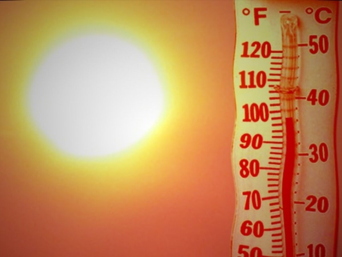
Heat-wave temperatures have provided miserable outdoor working conditions for weeks around the Ridge, but the start of the rainy season promises some relief from 'nature's air conditioning.'
Once the summer monsoon rains get under way, conditions will also shift to become more favorable for the formation of tropical storms.
Although the start of the official Hurricane season has been quiet, early season storms are most likely to form in the Gulf of Mexico and the Caribbean. The new pattern emerging is likely to be favorable for that typical scenario. All major hurricane-forecasting teams, including those in Pennsylvania, Colorado, and Tallahassee, Florida, are predicting a very busy season with an increased threat of 'major' hurricanes reaching Category 4 and 5 intensity.
Those predictions are based primarily on the expected development of La Niña conditions this summer, which reduces the shearing effect of upper-level winds, allowing storms to grow and intensify.


Reader Comments(0)